Maunabo Beaches: A Safer First-Visit Planning Guide
Use a Maunabo beach guide to understand the coastline—not to replace a current ocean forecast. Shoreline conditions, access, surf, weather, and posted conservation guidance can change. Start with the official Maunabo profile, choose a beach based on your intended activity, and make the final water decision using current local information.
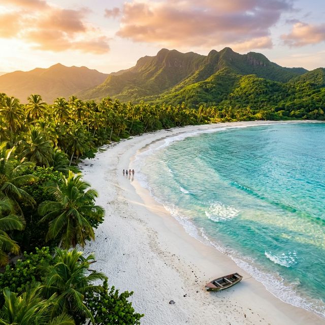
The Maunabo coastline at a glance
Discover Puerto Rico’s Maunabo profile names a range of shoreline options: Punta Tuna Beach, Playa de Mario, Los Pinos, Playa Larga, Villa Pesquera Beach, California Beach, and Los Bohíos / Playa Negra. The profile describes the southeast coast as part of a landscape of mountains, beaches, and the Punta Tuna wetlands. Each beach has a different setting and should not be treated as interchangeable.
| Area | Use this guide for | Current-condition reminder |
|---|---|---|
| Punta Tuna | Historic lighthouse, wetlands context, and coastal scenery | Discover Puerto Rico warns of strong currents and says it is unsafe for swimming. |
| Los Bohíos / Playa Negra | Black-sand shoreline context and a local Maunabo reference point | Check access, weather, and the specific activity you have in mind. |
| Villa Pesquera and other named local beaches | Compare the official descriptions with your day’s plan | Do not assume conditions at one beach apply to another. |
| Wetlands and lighthouse area | Scenery, natural history, and a slower coastal stop | Follow conservation notices and current attraction guidance. |
Punta Tuna: scenery first, not a swimming promise
Punta Tuna is a defining Maunabo landmark because the historic lighthouse and wetland reserve meet the coast. It is not the right place for an article to promise a calm swim or fixed on-site amenities. The official Maunabo page specifically says strong currents make Punta Tuna Beach unsafe for swimming. Use the area for its historic and coastal context, read the Punta Tuna Lighthouse guide, and follow current posted direction.
How to choose a beach day
First choose the purpose: shoreline walk, lighthouse-and-wetlands visit, local beach setting, or water activity. Then check current conditions and official/local guidance for that specific location. This approach is more useful than a ranking that promises exact drive times, lifeguard coverage, facilities, parking, or water quality.
For a broader trip sequence, start with the First-Time Maunabo Guide, then combine beach planning with the things to do in Maunabo and where to eat in Maunabo guides. Travelers arriving through San Juan can also review the SJU-to-Maunabo road-trip guide before setting a beach itinerary.
Frequently asked questions
Discover Puerto Rico warns that strong currents make Punta Tuna Beach unsafe for swimming. Treat it as a scenic coastline and follow current local guidance.
Official tourism guidance names Punta Tuna, Playa de Mario, Los Pinos, Playa Larga, Villa Pesquera, California Beach, and Los Bohíos / Playa Negra among the local shoreline options. Conditions and access differ.
Decide the activity first, then check current weather, water, access, and posted local guidance for the specific beach. Static pages should never be treated as a safety forecast.
Sources and beach-safety reminder
- Discover Puerto Rico — Maunabo
- Discover Puerto Rico — Faro de Punta Tuna
- Discover Puerto Rico — Punta Tuna Wetlands Reserve
Planning facts checked September 2026. Check current weather, ocean conditions, road access, conservation notices, and attraction details before leaving for the coast.
Stay in Maunabo and plan with margin
Casa Chunan is a three-bedroom vacation rental that can serve as a southeast-coast base for travelers who plan beach and landmark days around current conditions.
Check Current Availability