Maunabo Tunnel Guide: A Southeast Puerto Rico Arrival Plan
The Maunabo tunnel is best understood as a memorable piece of the southeast approach, not a reason to turn an arrival day into a race. The route through the Sierra de Pandura helps connect Maunabo and Yabucoa, while the wider landscape introduces the mountains, coast, and slower pace that make this corner of Puerto Rico distinct.
What the Maunabo tunnel is
Discover Puerto Rico identifies the Vicente Morales Lebrón, or Maunabo, tunnels as twin tunnels linking Maunabo and Yabucoa on PR-53. The official Maunabo profile says they opened in 2008, pass through the Sierra de Pandura, and are about 600 meters long each. They are a useful landmark for understanding how the southeast fits together, but they do not replace current navigation or transport information.
The approach itself is part of the experience. Discover Puerto Rico describes the route toward Maunabo as moving through forested mountains and along the Caribbean coast. That is a reason to allow room for the day, not a promise about road conditions, visibility, or travel duration.
Use the arrival day for orientation
A road trip to Maunabo works best when the first day has a small number of flexible priorities. Use live navigation after landing, keep fuel, food, weather, and check-in decisions practical, and leave sightseeing for a time when you can respond to conditions. The SJU to Maunabo Road Trip Guide explains the broader arrival decision, including why a rental car is often the most flexible option for a Maunabo stay.
Pair the route with a slower southeast day
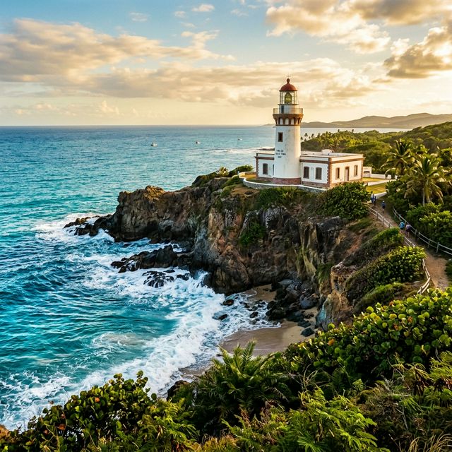
Once you are settled, the right next step depends on time, weather, and your group. The Things to Do in Maunabo guide gives a first-visit overview. For the historic and ecological context of the coast, start with the Punta Tuna Lighthouse and Wetlands Guide. If a coastline stop is part of the plan, read the Maunabo Beaches Guide and use current local guidance for any water decision.
Food and downtime should support the itinerary rather than force it. The where to eat in Maunabo guide is a starting point for local dining context. Confirm current details directly with a provider before making plans.
Frequently asked questions
The Vicente Morales Lebrón tunnels are twin tunnels on Puerto Rico Highway PR-53 that connect the Maunabo and Yabucoa area through the Sierra de Pandura.
Discover Puerto Rico describes the twin tunnels as about 600 meters long each. Use current navigation rather than a static guide for the day’s travel timing.
Use current navigation and official road information, leave the itinerary flexible, and avoid scheduling around fixed drive times. A rental car is generally the flexible option for exploring the area.
Use the tunnel as context for the southeast approach, then choose a flexible Maunabo plan that may include the Punta Tuna landscape, coastal scenery, local food, and downtime.
Sources and planning reminder
- Discover Puerto Rico — Maunabo
- Discover Puerto Rico — Faro de Punta Tuna
- Discover Puerto Rico — Punta Tuna Wetlands Reserve
Planning facts checked September 2026. Confirm current road conditions, access, weather, and coastal guidance directly before travel.
Make Maunabo a slower home base
Casa Chunan is a three-bedroom Maunabo vacation rental for travelers who want time to explore southeast Puerto Rico at their own pace.
Check Current Availability